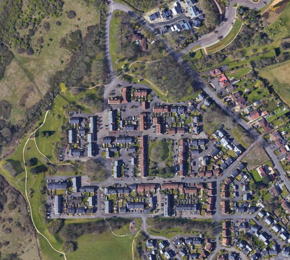
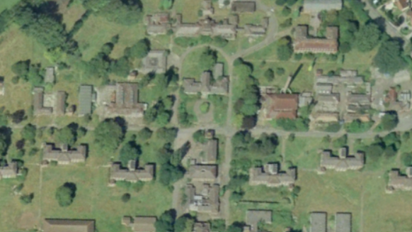
Thanks to Google Earth we can see the change that took place over the decade since the high clarity images are available. As the first one available on Google Earth is from 1999 as the site appears to be in relatively good condition. At this time site feasibility plans created by Department of Health for prospective buyers had suggested that some of the 1930s buildings were in good condition and could be repurposed.
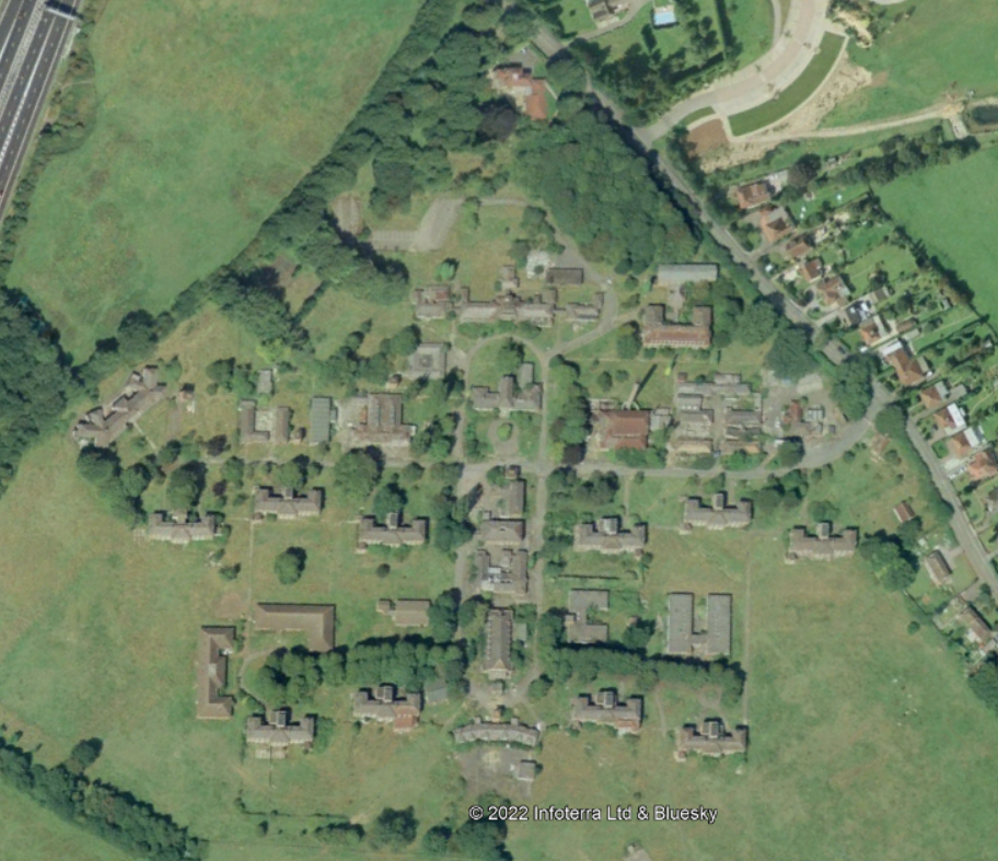
Within 6 years huge amounts of damage can be seen below, the buildings were subject to vandalism and theft as the site had no form of protection. I recall reading some years back that there was some sort of encampment on the site for a period of time. Many of the buildings had their roof tiles, lead and other useful features stolen, presumably to be sold. This is evident by the amount of water damage the buildings later suffered. All of the underground ducts had their pipes removed as well. Avon and Hambrook wards suffered from fires as well as some of the smaller buildings. Barratt in one of their reports said that the fire service had recommended the entire site to be demolished to prevent any further arson attacks from taking place. One would argue that had the site been protected better since closure then this damage may not have taken place and some of the buildings could have been saved and reused. In 2005 Barratt Taylor Woodrow Developments purchased the land for redevelopment.
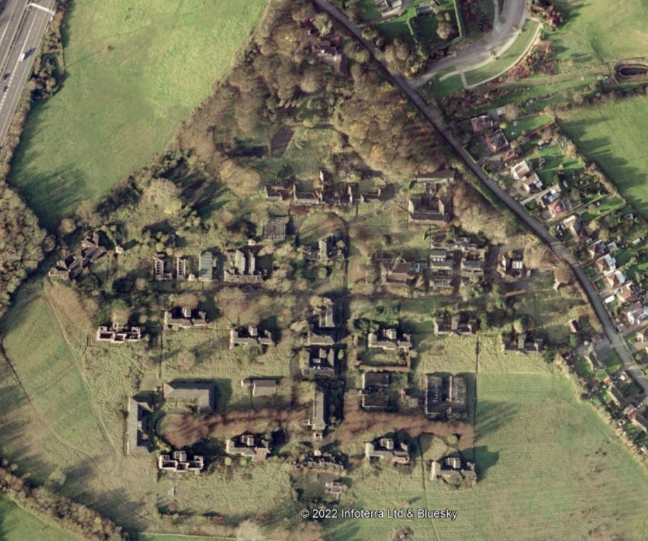
The site started to be cleared in 2006, although delays were caused by protected species like Slow worms and Bats. Asbestos was also prevalent at the hospital including in the underground ducting used to carry water around the site. I had first visited the site in summer 2006 and I recall much of the Northern part of the site had been cleared.
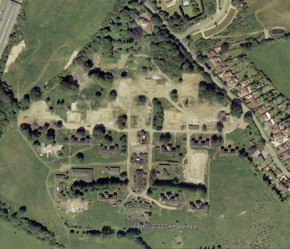
Many of the trees had preservation orders on them but due to neglect and disease had to be later felled, it was also acknowledged by planning authorities that it would be impossible for any realistic site development to retain all of them. The trees north of where Avon/Barton wards were are still there today, as well as the cluster between where the Admin/Boiler house which is now a communal garden with a circular walkway around it. Luckily the trees that lined the roads to southernmost wards and some of the outer ‘parkland’ have been retained.
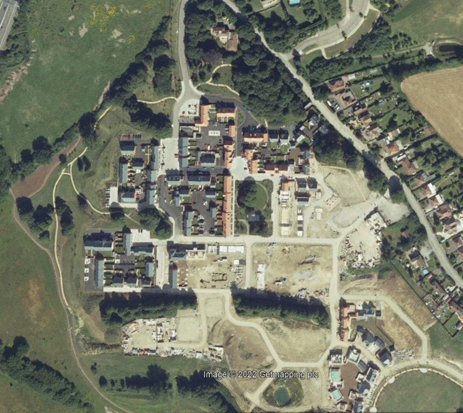
270 homes were built on the site now known as Hortham Village, mostly on the footprints of the previous buildings. A new access road was created in the north connecting to Hortham lane. The original hospital entrance is now a bus only entrance.
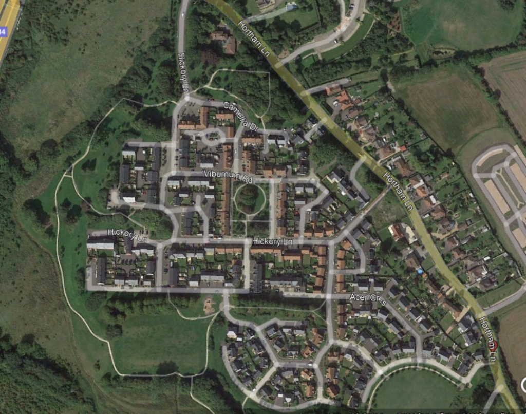
A further development was built on the northern side of Hortham lane, opposite the entrance to Hortham Village.
